
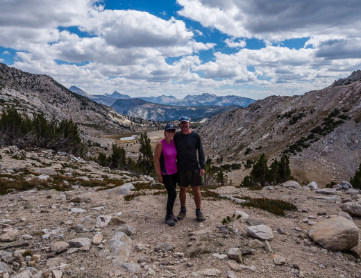
Striding Out!
Although it might not look it from our photographs, today was actually one of the least demanding days on the GR20, allowing us to make good progress towards our end goal – completing the 180 km long trail in 12 days.
In contrast to what we had experienced on the trail so far, today there was plenty of ‘flat’ walking whereby we could take the opportunity to stride out, really stretch our legs and pick up the pace, covering a lot of ground in a relatively short amount of time.
Not having to pay particular and careful attention to where we placed out feet came as a welcome relief. Rather than having to keep focussed on the trail ahead, we could simply let our minds wander and get lost in the moment, submerging ourselves in these incredible surroundings… After all, that’s what being in the great outdoors is all about. It was also the perfect opportunity to complete another ‘double stager’!

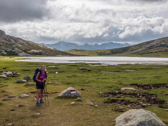
We were looking forward to a less demanding walk through the valley to see the beautiful and much awaited Lac du Ninu.
Tuesday 11th August 2015 – Stage 9 – Refuge de Manganu to Refuge de Ciottulu di l Mori – 9:00am – 7:30pm (10 & 1/2 hours)
Despite a late start today, (having waited around camp in the hope that our tent would dry out a little after the soaking it got during last night’s incessant storm), we made good time, reaching the Hôtel Le Castel de Vergio in five hours flat. We set a good walking pace, so had caught up with and even overtaken several other hikers whom we’d seen leave the Refuge de Manganu before us. Therefore, with such a successful morning, arising from easy, navigable terrain, we decided it was time to push on and go for a ‘double stage’ once again, so as to guarantee our much anticipated 12 day finish.
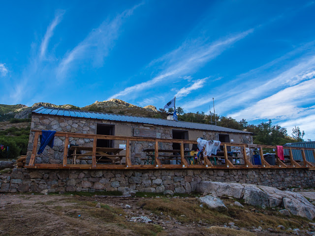
After last night’s raging storm, we were pleased to see blue skies above the Refuge de Manganu as we tentatively unzipped our tent.
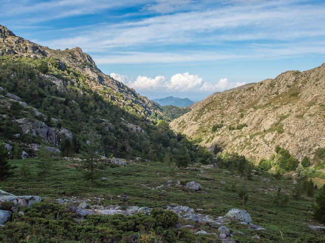
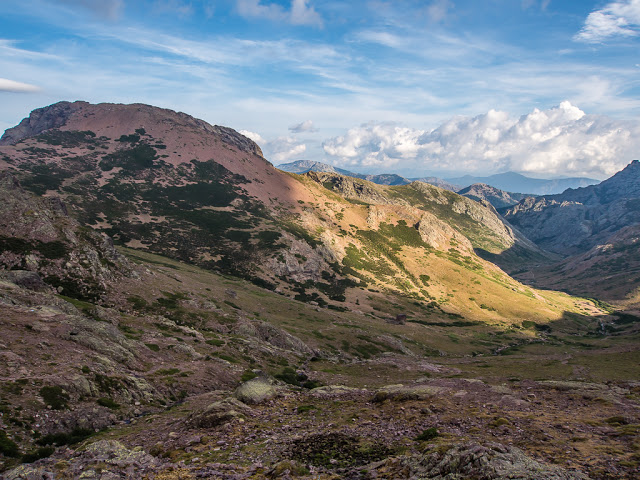
Today we would be heading away from the rough, stony slopes, down into the valley.
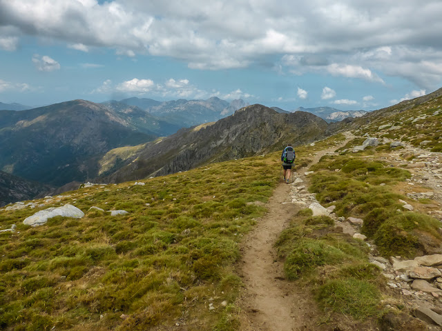
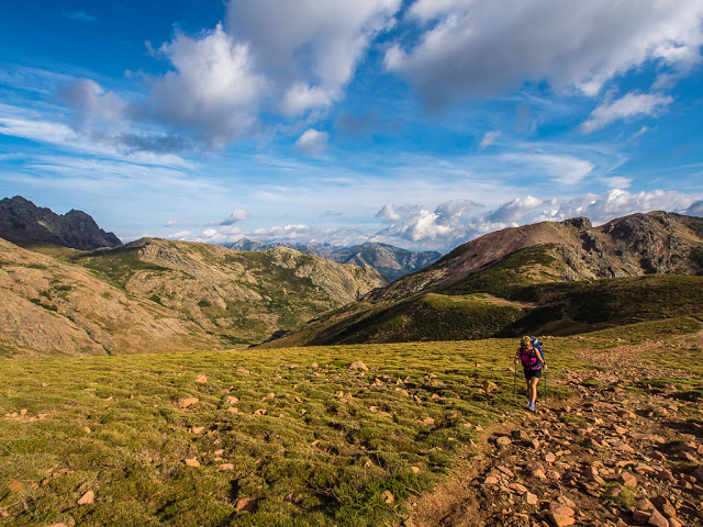
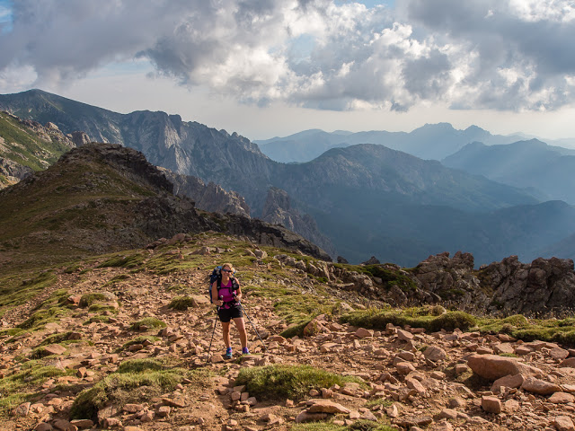
With considerable stretches of trail that were well-trodden and virtually flat, it was our easiest walking day by far!

As usual Wayne powered on ahead! We set an excellent pace, completing the first stage of the day from the Refuge de Manganu to the Hôtel Le Castel de Vergio, in just five hours. (A record achievement, as we actually completed a stage in the allotted time given in our guidebook!)
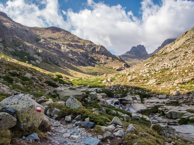
The familiar and reliable GR20 way-marks kept us on the right track without too much concentration today.
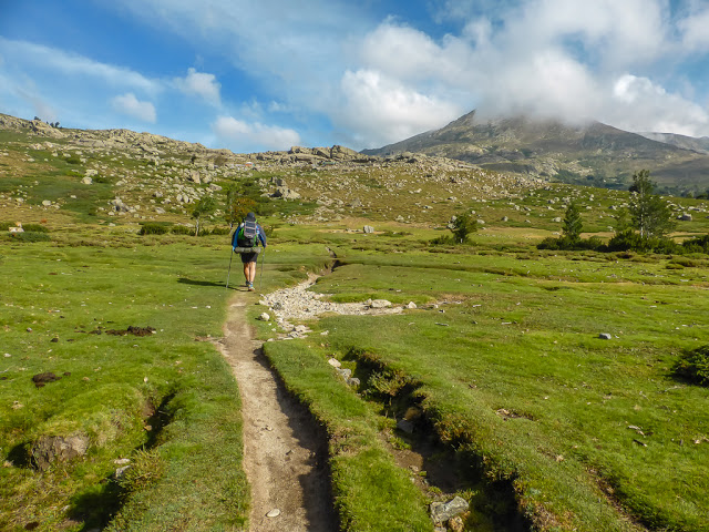
Making good progress, whilst enjoying some grassy cushioning underfoot, a novel sensation on the GR20!
The temperature was much cooler this morning than what we had been used to so we kept our jackets on for the first part of the day.
The trail weaves its way towards the southern side of Lac du Ninu.
The markers led us across an open slope scattered with boulders and patchy areas of spiny broom and juniper.
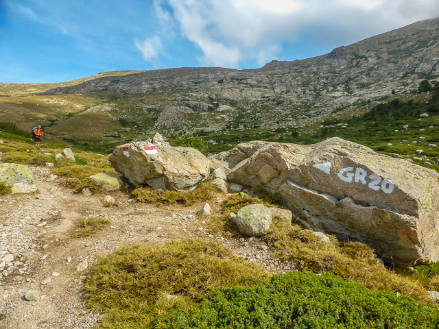
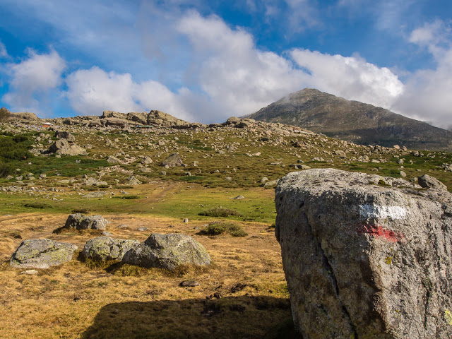
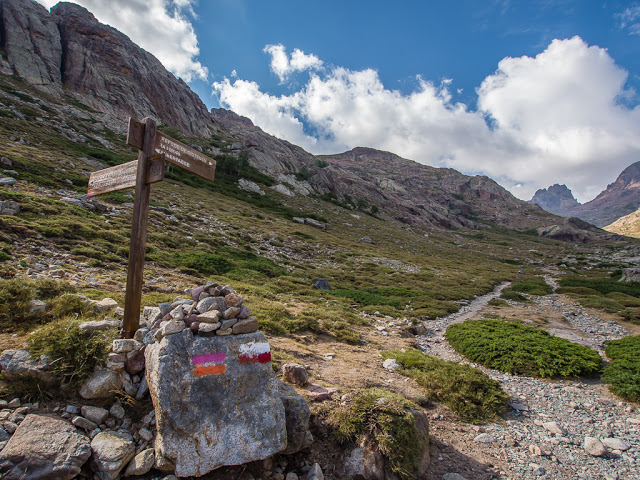
Just in case we weren’t quite sure which way to go now!
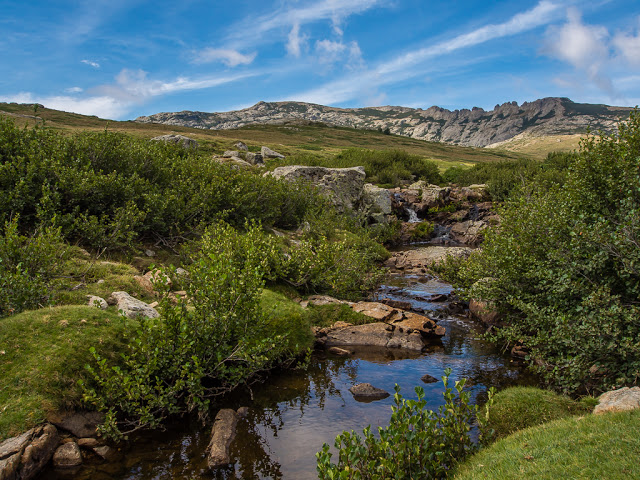
The Tavignanu River that flows from Lac du Ninu generally runs east across Corsica ending in the Tyrrhenian Sea near Aléria. The rock pools along this section of the river are the perfect place to stop and revive your feet!
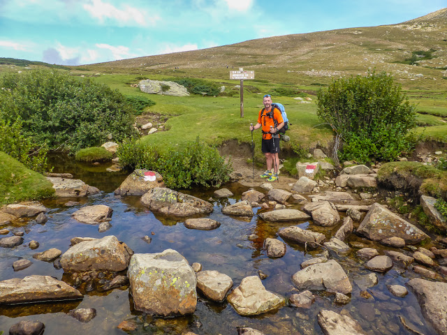
A rock hop across the Tavignanu River sees the GR20 heading off to the east, steering you to the Bergeries de l’Inzecche. As we didn’t need to resupply just yet, we veered off to the west, rejoining the GR20 a bit further along, missing out the diversion to the bergeries situated on the lower slopes of Punta Artica.
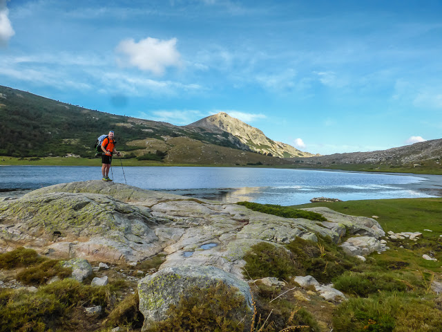
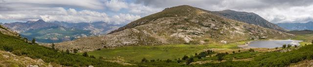
The highlight of our morning was reaching the much awaited Lac du Ninu. This stunning blue lake situated at an altitude of 1743 metres is set in the heart of a lush green valley, which reminded us in parts of our beautiful Lake District back home in England. As expected, it is a popular spot with day walkers hiking up from Poppaghia; however there is plenty of space for everyone to appreciate an uninterrupted view of the surroundings. We enjoyed a lovely stroll along the east side of the lake, with Wayne in his element capturing the stunning reflections that lay before us.
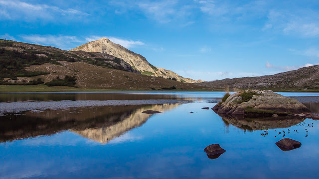
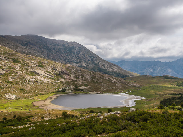
Beautiful mountain reflections in Lac du Ninu.
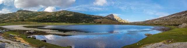
Panorama shot along the east side of the lake as we walked south to north.
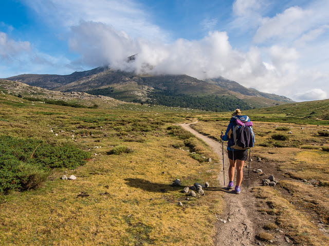
After trying to stay one step ahead of the storm yesterday, we felt lucky to be walking towards brighter skies and better weather.
Looking back to where we had just come from, the clouds seemed to be building up and gathering over the Refuge de Manganu once again.
Leaving Lac du Ninu, the GR20 route quickly ascends 100 metres or so to Bocca a Reta at 1883 metres.
A panorama from Bocca a Reta with Lac du Ninu in the shot on the right-hand side.
Lac du Ninu from Bocca a Reta. Fine views of the surrounding mountains can be enjoyed from this broad, grassy gap. If it’s not too windy – it’s the perfect place for a mid-morning snack.
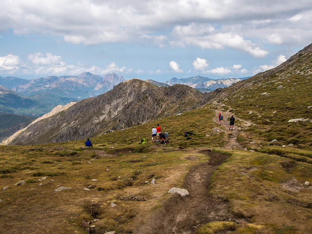
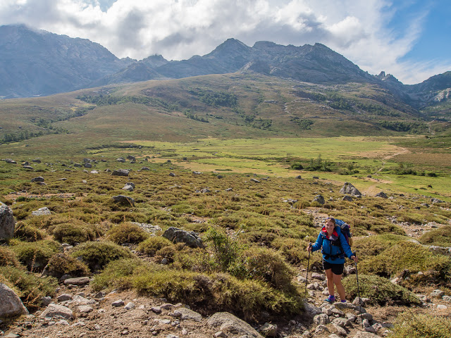
There was mild ‘congestion’ on this part of the trail as we passed a few more hikers than what we had gotten used to! We were now heading for the stony slopes of Capu a u Tozzu.
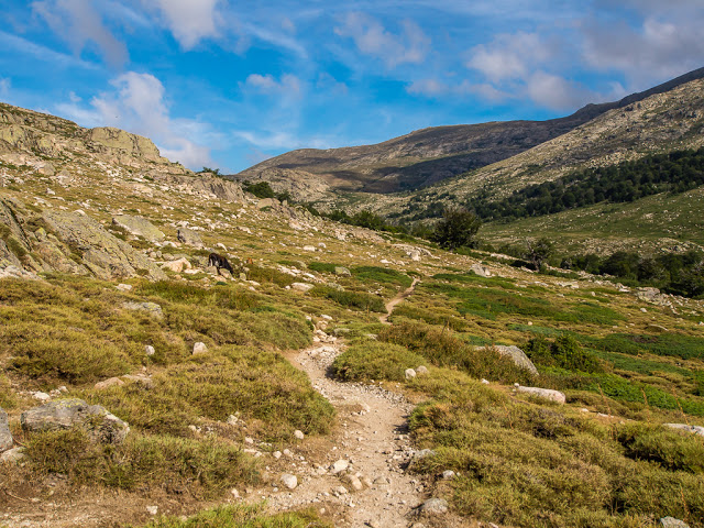
After the initial ascent from Lac du Ninu, we found ourselves walking along a flat, well-trodden trail once again, which was not too taxing.
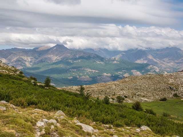
We made the most of such good trail conditions, enjoying the expansive views of the surrounding mountains, again making good progress towards the Hôtel Le Castel de Vergio.
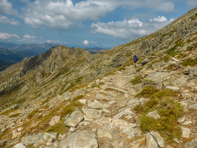
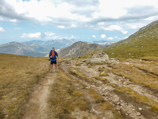
Navigating the stony slopes of Capu a u Tozzu. It was actually much less demanding than what we had already experienced on any previous day!
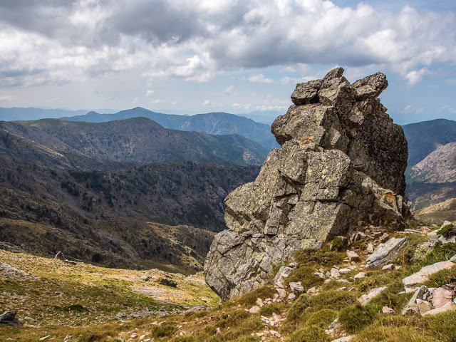
No rock was going to stand in our way today!
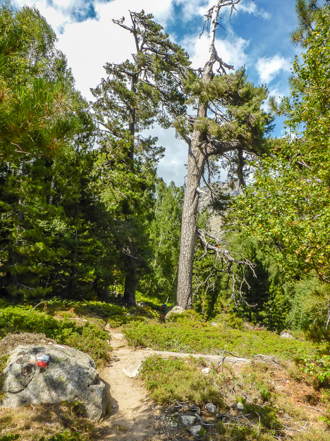
A gently graded path led us through beech trees and alder scrub.
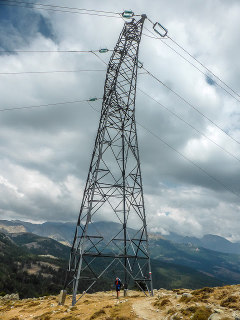
As we zig-zagged down the track onto an open slope, we passed a giant electricity pylon. Civilisation must be close!
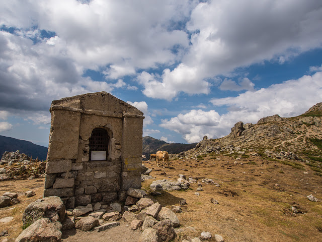
This tiny chapel on the Bocca San Petru stands at 1452 metres. From here, there are views of the valley on either side and on a clear day it is possible to look back to Capu Tafunatu, Paglia Orba and Monte Cinto.
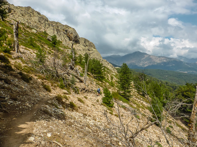
The path then led us downhill on a long, stony slope. Despite it looking steep and exposed to the sun, the route actually zig-zags its way down on gentle gradients, shaded in parts by tall beech trees. This leads to a forest track and ultimately a road!
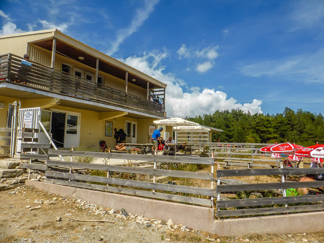
The mini-market next to the campground.
After 5 hours, and minimal rest breaks, we left the forest path and joined the road where we could see the Hôtel Le Castel de Vergio up ahead. The campground, a fenced enclosure to the right of the hotel, had minimal shade. It basically looked like a gravelled car park and was lacking any facilities, so we were glad we had already decided not to camp there! However, there is a well-stocked mini-market next to the campground, which was the perfect place for us to stop and have lunch, before setting off on our second stage of the day.
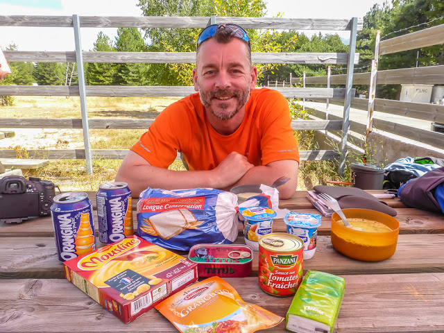
Having lunch outside the mini-market.
It was the best place we had found to stock up with supplies since leaving Vizzavona. We let our hiker hunger take over and bought an impulsive array of camp goodies before making use of the toilet facilities and picnic tables! As we had a relatively comfy place to sit with the addition of a parasol for shade, we took an hours rest, then set off at 3pm on our second stage of the day.
Leaving the road on the right-hand side past the Hôtel Le Castel de Vergio, the GR20 heads along a forest track once again. As the sun had made an appearance, it was hotting up, so we were thankful of the shade that the trees provided.

The next section of the GR20 route is also very popular with day walkers who make their way up the valley to bathe in the numerous rock pools and waterfalls along the Golo River. As we headed uphill, we spotted the Bergeries de Radule perched on a rocky ledge.
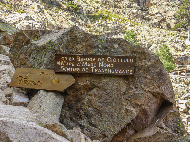
The bergeries offered cheese and other refreshments. We also spied a couple of camp spots should you wish to stop at this point and stay the night. Next to the bergeries, there is a path junction where the Mare a Mare Nord, another Corsican hiking route, crosses the GR20. (Pay attention to the red and white flashes to ensure you are on the right trail.)
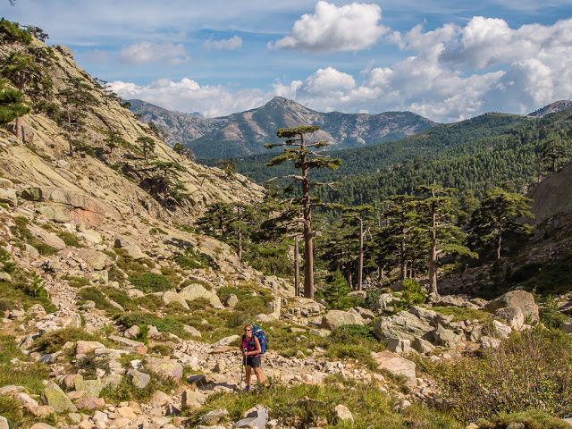
Making our way uphill through the valley towards the Refuge de Ciottulu di l Mori. We hadn’t realised that there would be a 600 metre gain in elevation to reach it! Looking back, in the distance is the Monte Ritondu massif.
The pathway gets a little more rugged as it meanders through the valley following the Golo River.
Ensure that you keep to the right track as there is another pathway junction.
The Refuge de Ciottulu di l Mori at 1991 metres is nestled at the head of the valley at the top of the slope. It looked a long way up considering we had already been hiking for 7+ hours!
Although it is possible to see the Refuge de Ciottulu and its terrace perched on a flattish section at the top of the slope from quite some distance away, leading you to think that you head straight up to it, this is not the case. Partway down the valley, the GR20 route actually veers off to the west away from the river and zig-zags uphill on some good graded switchbacks, before bringing you eastwards across the slope to the refuge. Unfortunately, we hadn’t realised this. Happily following the river and powering on ahead, we unwittingly missed a red and white marker. We hadn’t realised until the track we were following kind of disappeared and the gradient had become much too steep to head straight up, signalling we had somehow made a navigational error. We both questioned how long it had been since we had last seen a red and white marker, and recognised it had been quite a while. Usually, they are so frequent, they become subliminal and we hardly had to think about it. So inevitably we had to double back, find the missing marker and rejoin the correct GR20 route, adding around half an hour extra onto our day.
Good switchbacks led us uphill west of the refuge, where we followed a much easier path along a grassy ridge.
Although it might not look it, this was the far easier option for reaching the refuge.
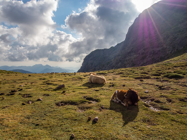
Cows enjoying the last rays of the sun towards the end of our hiking day.
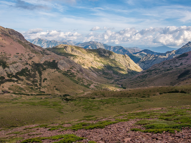
A tremendous view looking back down the valley to where we had just hiked up from.
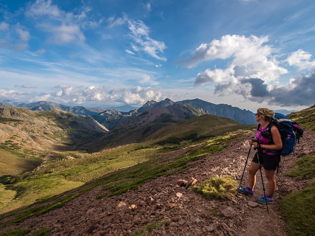
Enjoying breathtaking views! Some of which reminded us of the Lake District back home in England.
It had been a long, but enjoyable day! With views like this we couldn’t complain.
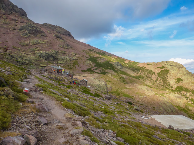
As we got closer to the refuge, we wondered where all the tents were! They were in fact behind the refuge in a rocky dip between the mountains. By the time we arrived, which was around 7:30pm, there were not many flat spots left.
At last, we reached the Refuge de Ciottulu di l Mori just before the sun dipped behind the mountains.
Without the last hour or so of the sun to warm the tent and sleeping bags through, and because we were at almost 2000 metres in elevation, we found it much colder during the night. It was the only night that we refrained from taking a shower, as freezing cold water was just not very appealing that late in the evening! (Thank goodness for wet wipes!)
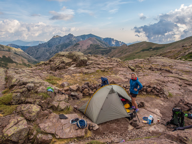
Our private camp spot at the Refuge de Ciottulu. It wasn’t long before we got wrapped up in our sleeping bags and settled down for the night as it felt very cold and exposed on the dip between the mountains.
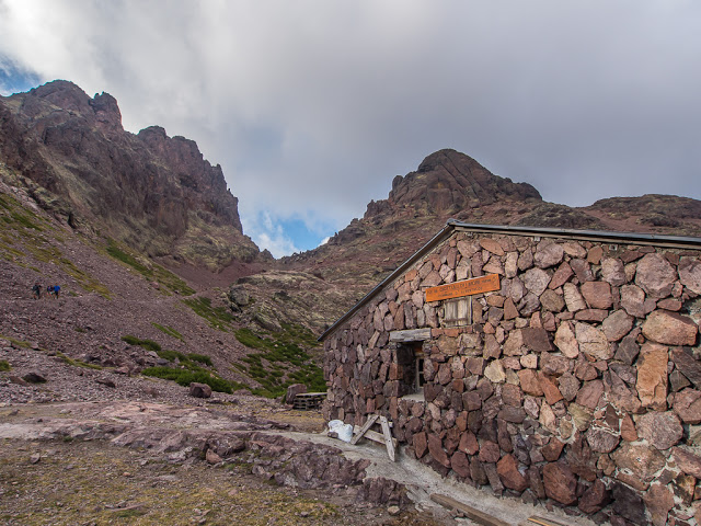
Despite us not really using the facilities of the refuges, as we carried our own gas and cooking equipment, we did find this refuge to be well equipped and very welcoming, compared with some of the others we had experienced on the GR20. The standard of cleanliness of both the toilet and shower block was particularly high, despite these being basic facilities situated in a little wooden shed. What also made this refuge stand out was the friendliness of the gardien, who genuinely wanted to help us, offering us some much needed advice in preparation for our next morning’s walk to Calasima.
But that’s another story… The following day we were having to take an alternative route option as there was currently no access through the ‘Cirque de la Solitude’; the section of the GR20 considered by many to be the most difficult. Prior to the start of our thru-hike, we discovered via the internet that as of June 2015, the GR20 had been closed between Haut Asco and Auberge U Vallone because a landslide in the Cirque de la Solitude had killed at least four trekkers, during a period of bad weather. Due to these seriously unfortunate events, it is highly unlikely that the Cirque de la Solitude will ever be reopened as this area is now deemed geologically unstable. Therefore as an interim measure, the National Park introduced a bus service detouring around this section that had been closed.
To access the navette, (minivan), hikers going south to north had to reach the village of Calasima, which was around a 3-4 hour hike from the Refuge de Ciottulu. Alternatively, if hikers wanted to continue walking without breaking the route, this would mean a very rough and arduous detour high above the Cirque de la Solitude on a new pathway, which would require exceptional care. Not being adrenaline seekers and very much valuing our lives, we were hoping to make use of the public transport on offer, so had planned on diverting off the GR20, heading to Calasima the following morning. As there was little information on the internet, we were relying on the advice from the gardien in terms of times and frequency of the navettes and keeping our fingers crossed that we would be able to get to Haut Asco without having to attempt the new section of the trail. We had heard from a few English speaking hikers that the newly devised route above the Cirque de la Solitude was extremely rugged and slow going – so we really didn’t want to face it if at all possible.
We could not afford to lose any time or sustain an injury at this late stage of our thru-hike. We agreed that taking the navette would really save us some time overall in terms of our tight itinerary. The 4 hour journey to Haut Asco would also give our legs a much needed rest!
But we would worry about that tomorrow… As for now, it was another successful hiking day done! 9 days down, 3 to go before we reach the end of the GR20 at Calenzana!!! Find out if we made it to Haut Asco on foot or by mini-van in our next trail report…
No Comments