
Only Your Feet Know The True Mileage!
What happens when a sign reads one thing but your map tells you another? You hope for the shortest distance to be true! On long distance hikes, there can often be some mileage discrepancies depending on which guide you read, what map you follow and whether or not you track your route with GPS. But which version of the route do you trust? Collectively as a culture we tend to put our trust in technology. The general thought is that what’s on a GPS unit display must be accurate. But, as with all technology, it must be used appropriately and within its limitations. Recreational GPS units are good for giving accuracy in location, giving elevation and tracking overall pace. However they can be inaccurate with regards to overall distance covered – one such reason – they may not be actively tracking the entire time, hence producing straight-line distances in-between waypoints, resulting in not tracking the trail exactly. Similarly, differences in elevation can also affect the data. But nonetheless, they can be pre-loaded with your exact planned route and it is possible to access a full scope of topographical maps for the entirety of almost any known trail, so have quickly become part of a hiker’s essential kit.
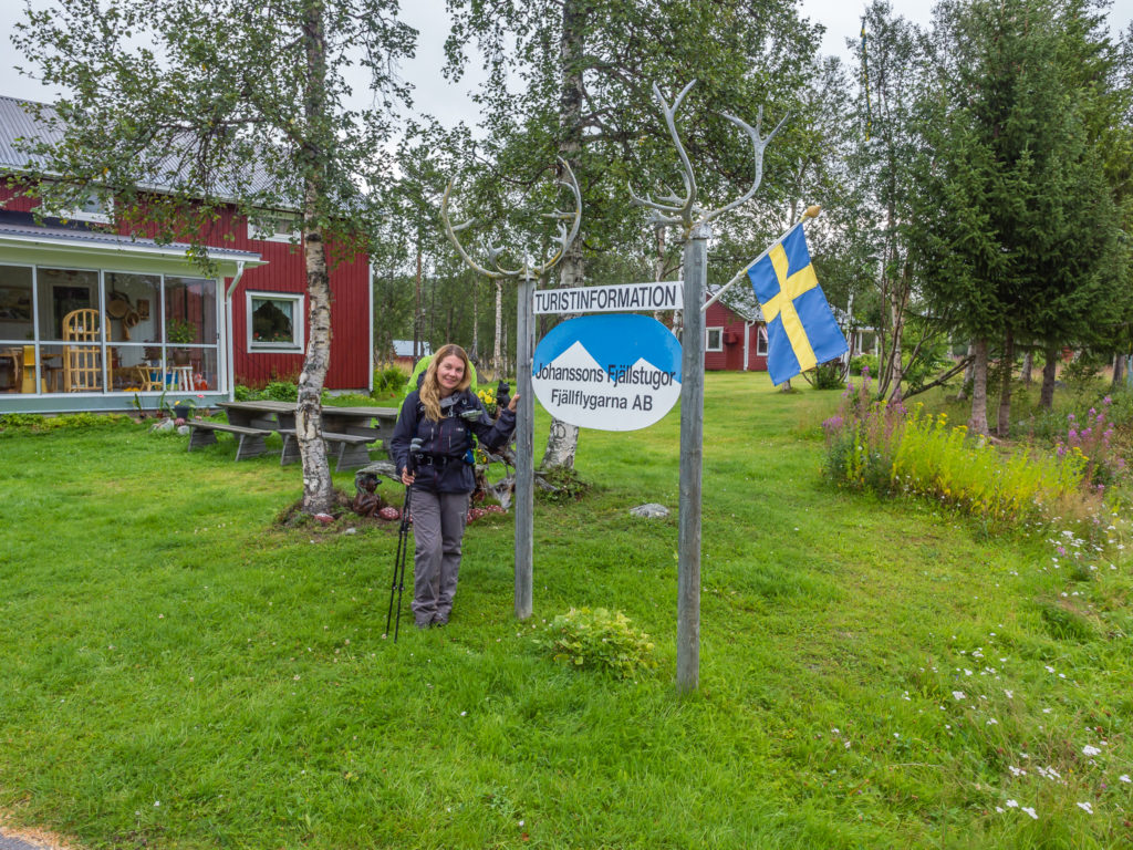
We like to use GPS to record our route and keep track of our mileage, but we also carry a paper map too. It has served adventurers for thousands of years, so it’s hard to dispute the merits of a good map. Just as we all travel with a spare tyre and a set of jump leads, even the most ardent technophiles carry a basic paper map as a backup. And on the Kungsleden it proved its worth on several occasions, not least on Day 7 – the day we hiked from Adolfström to Jäkkvik. Leaving Adolfström, we found a discrepancy with trail signage that said Jäkkvik was a distance of 27km (16.7 miles). However, by our own reckoning after taking calculations from our map, the distance looked to be 21km (13 miles). Thankfully, we were correct with the lesser distance, as confirmed by our tracking data which also indicated by the end of the day that we had walked 21.7km (13.5 miles) between the two places. As it was pouring down with rain for most of the day, we were very grateful of the signage error and that it worked in our favour! Here’s how the day panned out…
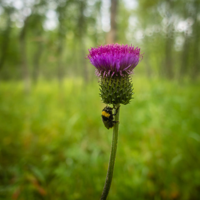
As the rain reappeared with a vengeance, there was little time for stopping and admiring the flora and fauna today.
Day 7 – Adolfström to Jäkkvik (13.5 miles/ 21.7 km, 9 hours) – Friday 19th August, 2016 – ‘Ready For A Bed!’
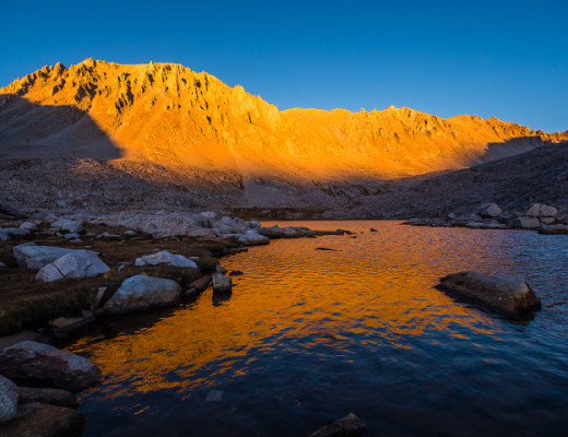
Up at the crack of dawn and back on the trail for what we were expecting was a 27km day…
Leaving Adolfström and getting back on the Kungsleden we had already seemingly knocked off 3km. Signage in the village indicated Jäkkvik was 27km away.
As we had hardly any food supplies left, it was our earliest start yet. We had broken camp and were back on the trail by 7am. We wanted to break the day into three 7km sections, thinking that our own calculations by way of the map were correct and that the signage saying Jäkkvik was a distance of 27km must be wrong. Initially we found ourselves wandering through woodland traversing slippery rocks and roots that was hard-going on our ankles. It was also uphill at first. What made matters worse was that it started raining about half an hour into our walk. We put on our waterproof gear and just braved it, keeping our heads down and pushing on. Luckily, to keep us going we had 12 squares of chocolate left, so we ate them with gusto!
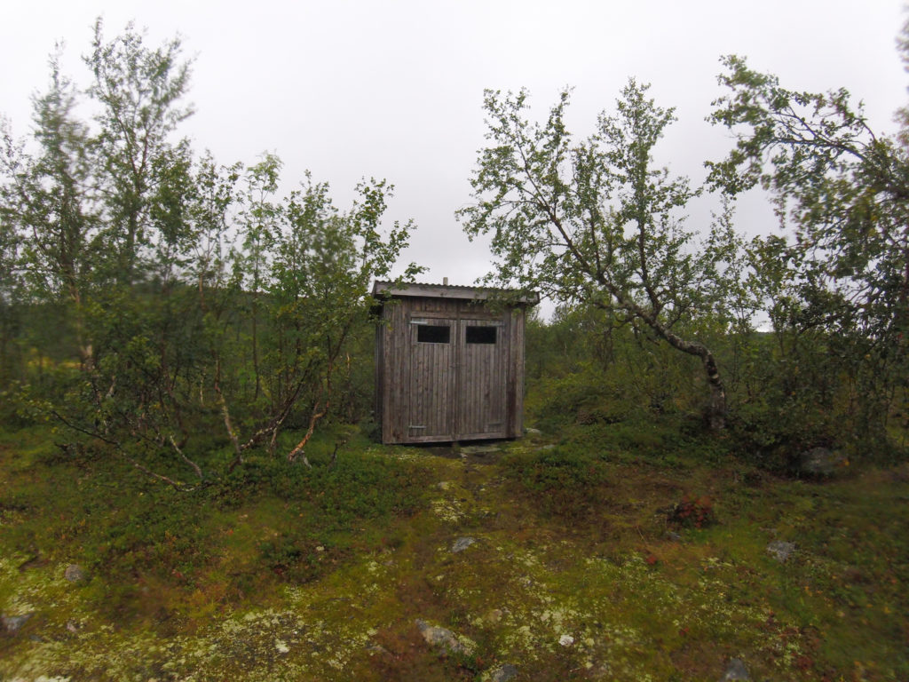
Passing a toilet by the trail. The Kungsleden has well-appointed WCs along the entire route. (This one not in such a scenic location as the rest!)
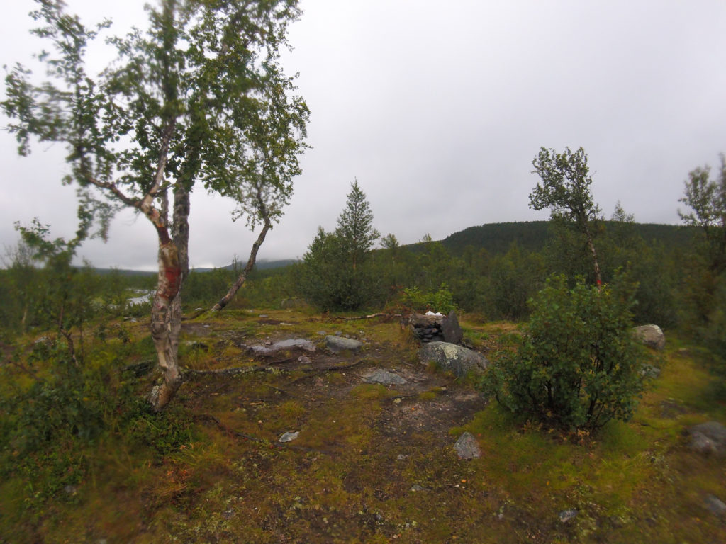
A pre-existing wild camp site outside of Adolfström.
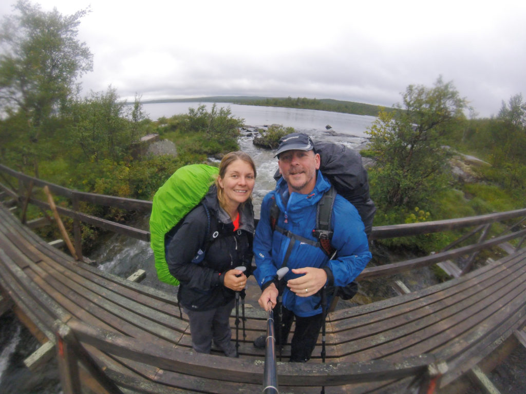
Using the GoPro for today’s photos due to its waterproof capabilities!
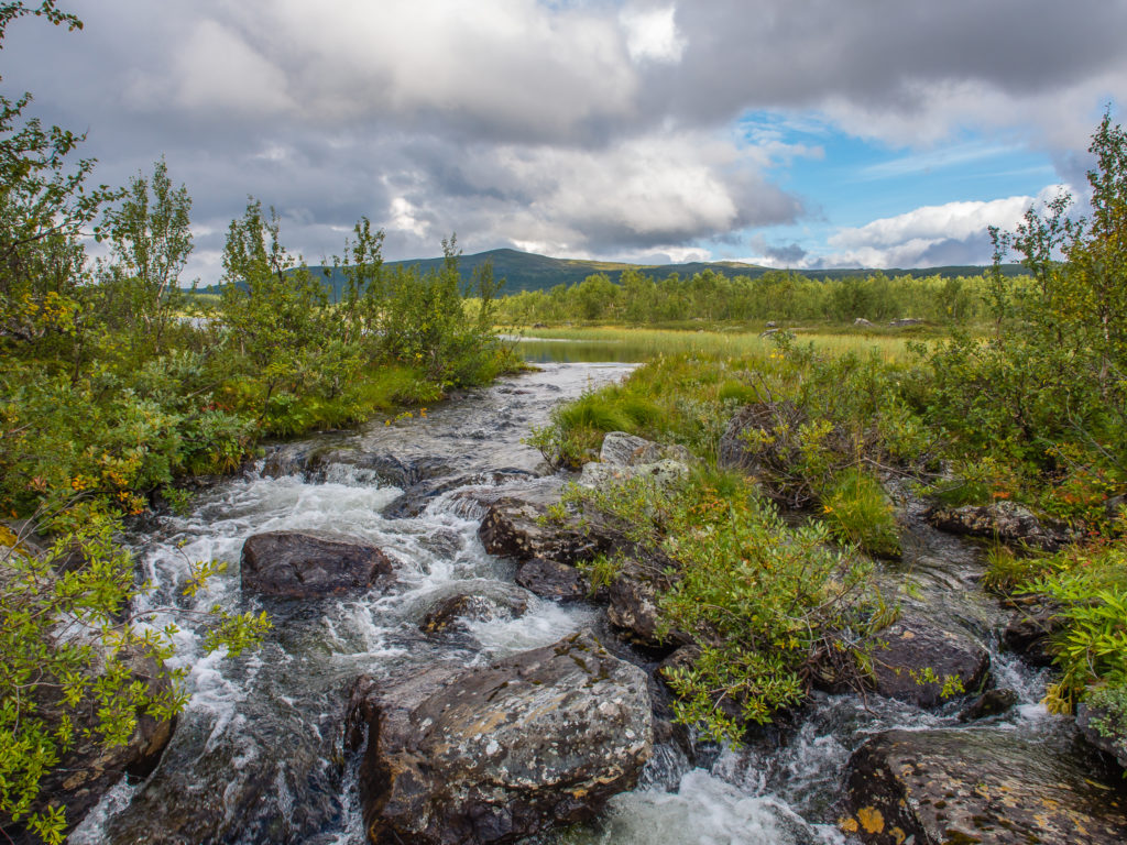
We were still treated to some wonderful scenery along the way during breaks in the rain.
The woodland thinned out and lead to us to a rocky walk around a lake where Wayne abruptly slipped and fell over. Thankfully he didn’t do any permanent damage to himself or his gear! Our boots had already reached saturation point by then because of navigating so much bog; again there were not too many boards used on this section to assist us across and keep us dry. Our backpack straps were wet, however our waterproof jackets and trousers were holding up well and we felt warm. Our plan was to keep going until we reached the first hut marked on our map with a square symbol. We didn’t know if this would be a locked, private cabin, as other emergency huts/shelters were marked with a triangle symbol on our map, but we were hoping we could use it for a little respite from the rain. It was around the 14km mark so we still had a while to go. We passed by 5 other hikers heading towards Adolfström before reaching the hut, none of whom were really talkative today, which was to be expected as everyone wanted to escape the rain and just keep going. We felt famished and were more than ready for some food and a sit down – now the last of our rations – so were both very happy when we at last spied the hut through the trees…
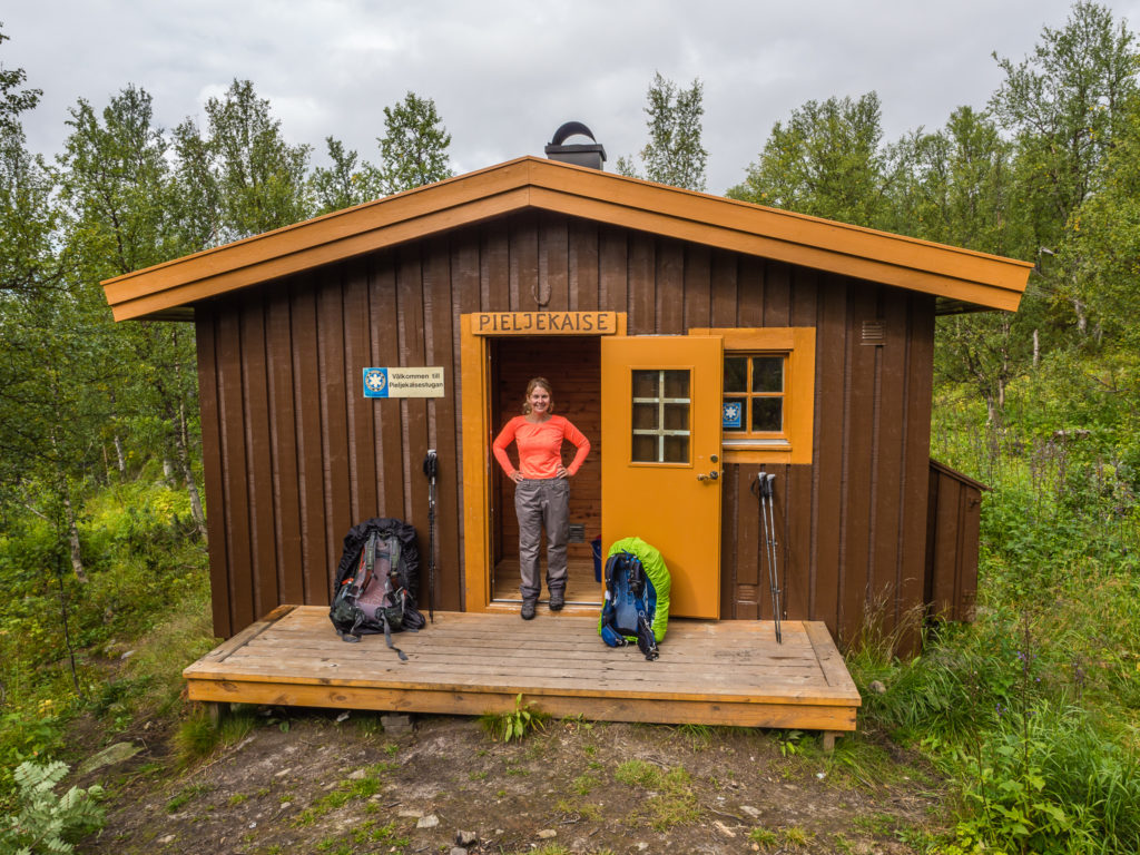
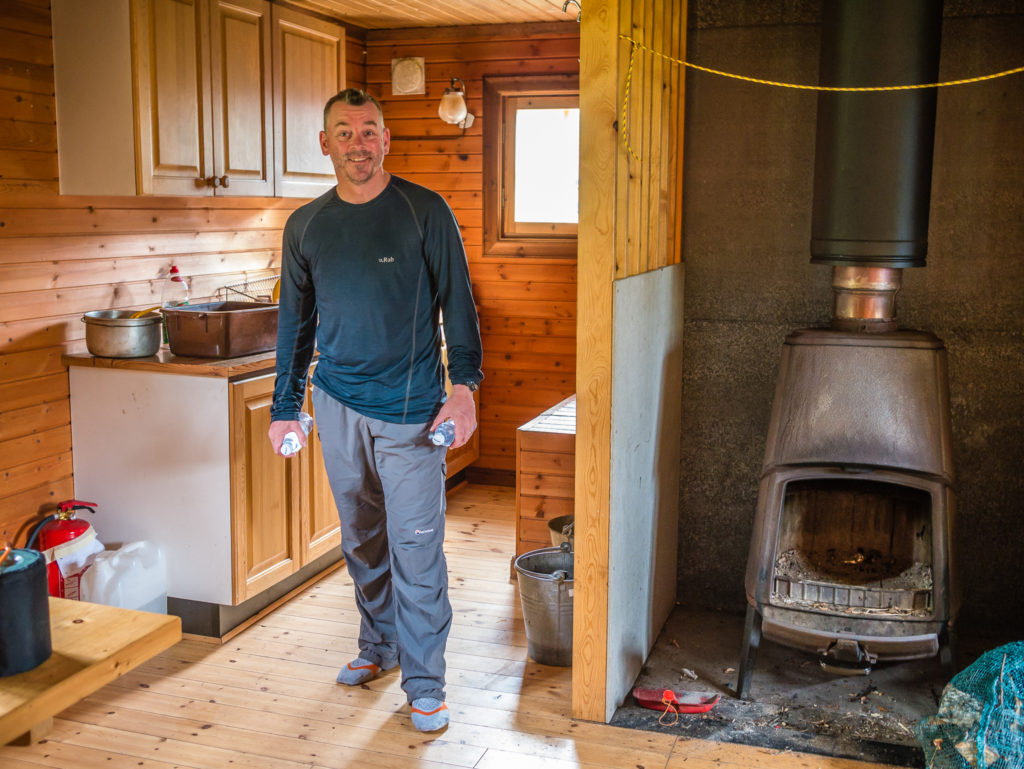
All smiles to reach the hut at last and find it was open and very well-equipped for hikers passing by.
The hut named Pieljekaisestugan was simply an AMAZING place! With 2 picnic benches, a gas stove, cooking utensils, and large wood burner it was everything we could want right at this moment. It was cosy and seemed very new and well maintained, but there were books with visitor notes dating back as far as 1983. Some kind trail angel had also left a few packets of freeze dried vegetables on the table with a note saying take what you want. We had a packet with our breakfast/lunch to go with cupa soup and instant mashed potato and repaid the favour by leaving two sachets of hot chocolate for the next visitors.
The well equipped hut provided by the County Board of Norrbotten.

A wonderful surprise! Trail angels leave the most unexpected but useful gifts…
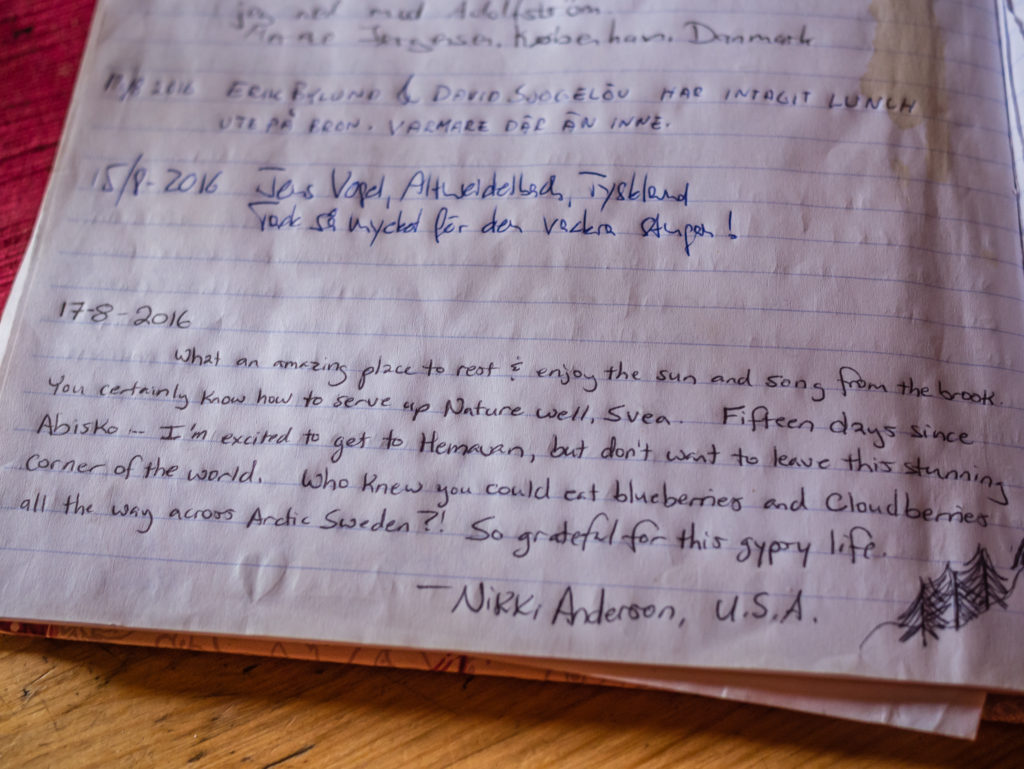
Our sentiments exactly! We had passed Nikki who was hiking southbound the previous day. It is a surreal feeling that you leave a little piece of yourself somewhere on the trail for someone else to find.
Having arrived just before midday, we agreed that we’d rest at the hut for an hour seeing as we had pushed on so hard during the morning and completed a huge chunk of today’s miles. In fact, we ended up staying until almost 2pm as the rain came down again much heavier. We only had around 7 or 8km left to go though, so we were feeling optimistic and happy that we would get to town in plenty of time.
After leaving the hut, we headed uphill beyond the tree line onto open moorland on top of the fell. By this point the rain was really lashing down and we were completely exposed up there. Across the top we met Barbara heading in the opposite direction, and even though we were all soaked, we still stopped to chat. She was finishing the Kungsleden, but had previously been hiking in Norway, then hitchhiked across to Sweden to do the southern section of the King’s Trail. She was the first person we had come across that suggested we skip the northern section of the trail claiming it is far too busy and touristy. It gave us something to think about… But as we always intended hiking the full trail, we decided to stick to our original plan and finish in Abisko as we’d always intended.
After that brief encounter, we quickened our pace and soon made it to the next hut – a bigger version of the one we had utilised earlier with similar facilities. (Unnamed on the map.) Two Swedes, on a fishing trip, had already made themselves comfortable inside the hut and were waiting out the rain – the same reason we sought shelter once more – as it was now coming down heavily again.
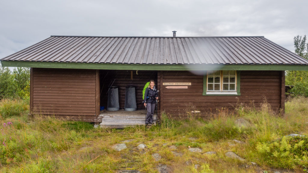
Reaching the second well equipped hut. Rest shelters are integral to the national trail system in Sweden.
With 3km or so to go to reach Jäkkvik, it was downhill from the hut. We had to be careful as the rocks and mud were slippery but it wasn’t too hard going. In fact, we were now realising just how many easy sections of trail the Kungsleden affords, allowing us to pick up speed and make good time.
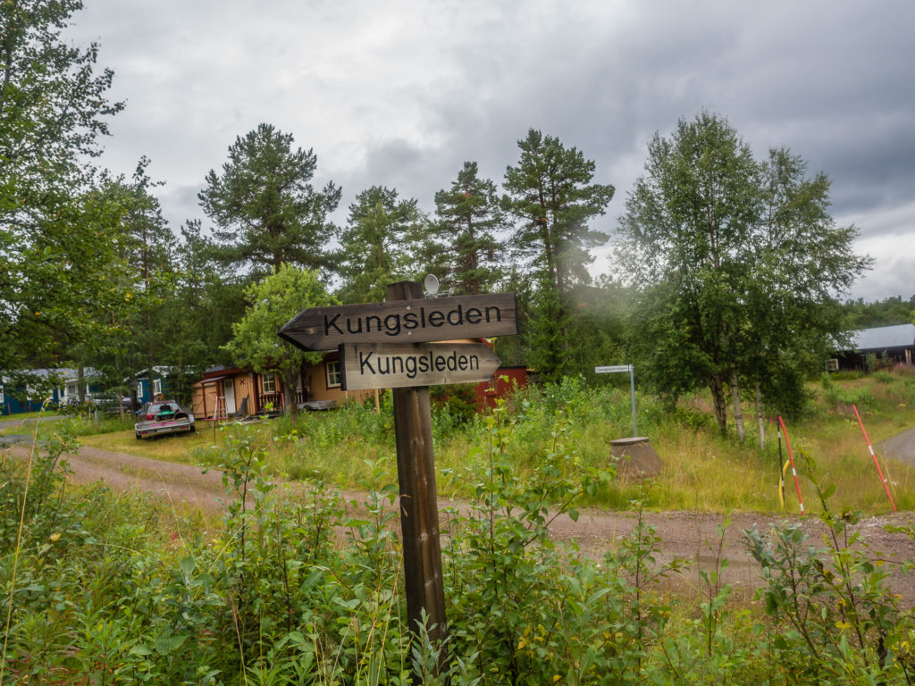
We had made it to the outskirts of Jäkkvik as the Kungsleden passed by a road and residential area.
We arrived in town around 4:30pm, our earliest finish time so far. The church hostel that was recommended to us, Kyrkans Fjällgård, is located straight across the main road next to the lake. At a cost of 280 SEK (£24) per person for a bed, it is cheaper than an STF hut and is an excellent place to stay to have a hot shower and to catch up on some laundry and WiFi. We enjoyed the fact that the hostel is very relaxed and has a large kitchen, dining area, and lounge with comfy seats where hikers hang out and share their adventures. Upstairs there are several large rooms with bunks that are dormitory style, but luckily we found a private 2-person room that was perfect for us. So in typical Treksnappy style, we hastily unpacked and spread out our gear – the neat and tidy room now looking like a bomb had gone off! Then of course we headed straight to the shop… (Hiker priorities!)
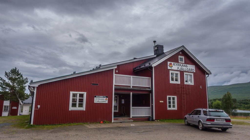
Kyrkans Fjällgård, the wonderful hostel in Jäkkvik.
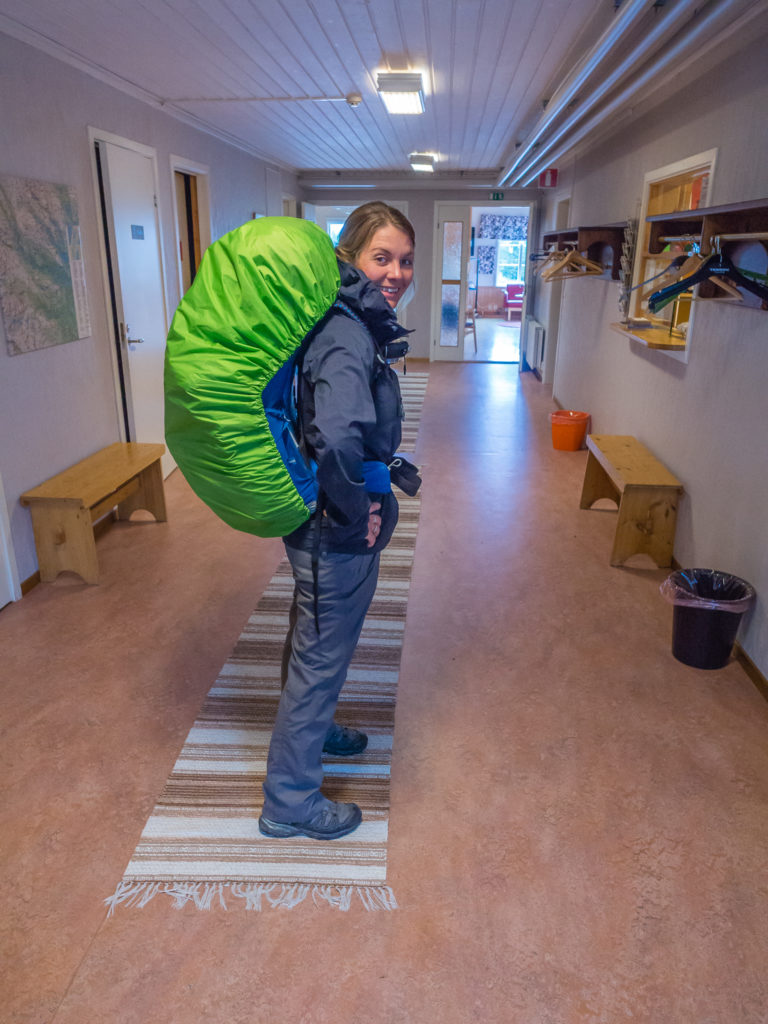
Pleased to be re-entering civilisation for a while!
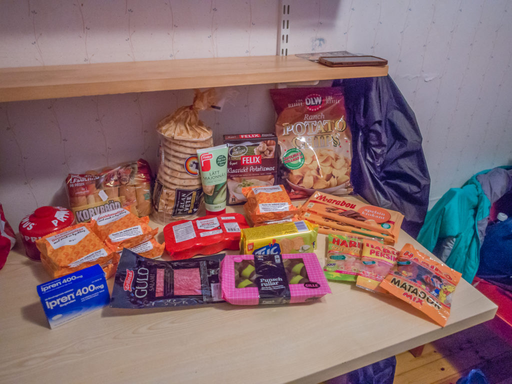
Our hoard of goodies after resupplying at the shop!
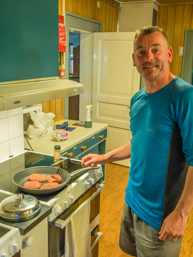
Wayne fries off some burgers seeing as we have the luxury of a frying pan!
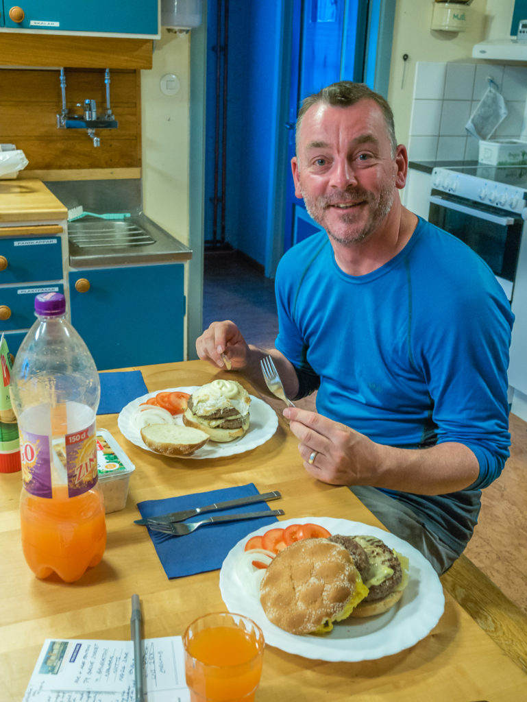
After a week on the trail, indulging in some home comforts to set us up for the next 7 days!
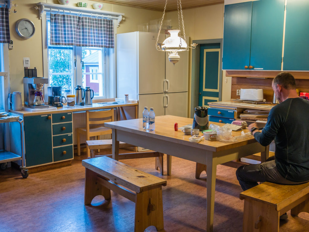
The wonderful kitchen facilities.
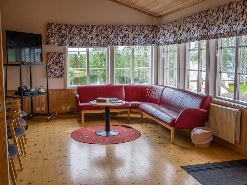
The light and airy lounge area.
The shop in Jäkkvik is a general convenience store joined to a petrol station just up the main road. It is well stocked with everything you could possibly need to resupply with on the trail, so we splurged and got 4 days’ worth of supplies and some goodies for dinner, including Ibuprofen tablets, postcards and stamps. (This resupply totalled 560 SEK/ £50.) As we had proper facilities at our disposal, Wayne cooked up a cheese burger feast for dinner, which other hikers staying at the hostel seemed very envious of! After today’s efforts, it was a great reward. We were also relieved that our estimated mileage had been correct. It was in fact a little over 21km to Jäkkvik from Adolfström – thank goodness!
On a trail so long, with some alternate route changes and deviations, we now know to expect some discrepancies and tend to think of our day in the amount of hours hiked as opposed to miles hiked. At the end of a lengthy, flat stretch or indeed a steep climb or descent that takes longer and is more taxing on the body, it’s your feet that know your true mileage. As with the weather, we have just learnt to adjust our expectations as we go!
One week down, 14 days left to go to reach Abisko!

3 Comments
A great shame to have a full day of heavy rain, but those huts certainly help to lift ones spirits. Fingers crossed for a drier day to follow.
After one week worth of reading let me thank You for the interesting and valuable writing. I’m currently preparing for my Kungsleden thru-hike in 2020; from south to north! Your book and blog posts (with colour photos!) are providing a wealth of information. And I can’t await to leave for the trail.
Alls the best for 2020 and
Hi Marcus,
Thank you so much for your great comments. We’re glad that you’re finding both the book and blog posts useful. It’s always great to have colour photos as well to give a true sense of what the trail’s really going to be like.
You must be really excited and eager to get started with your trip!
Best regards and happy hiking!
Danielle & Wayne